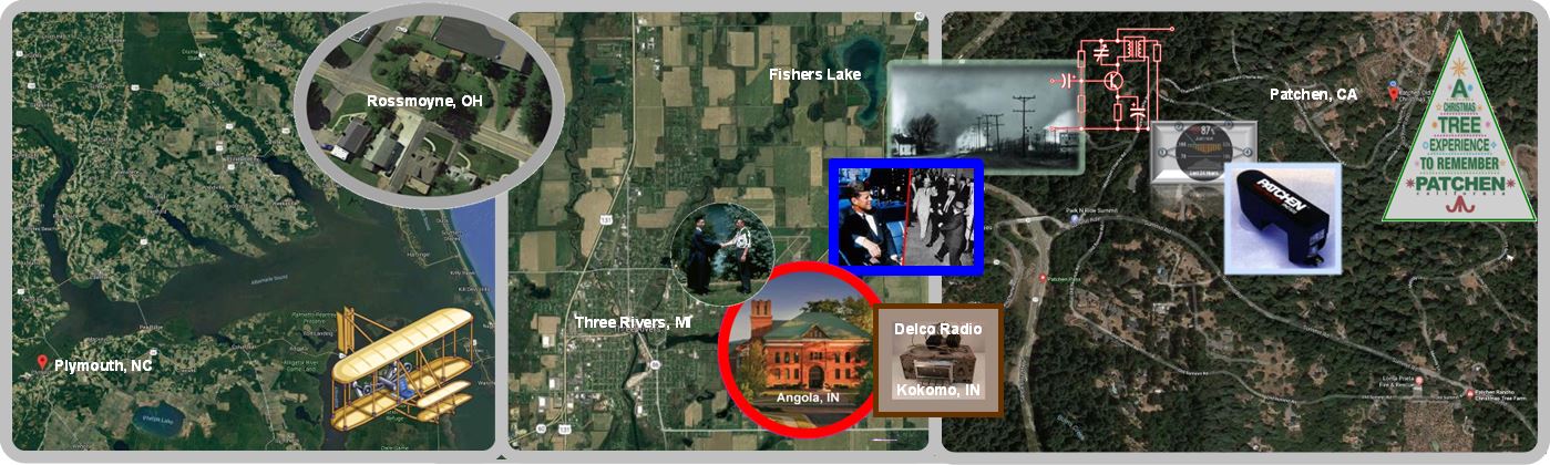
Patchen Landmarks

click to enlarge
The map is taken from Google Earth (formerly known as KeyHole), using a screen capture from a UHD (3840 x 2160 pixel) monitor, then cropped to around 6 x 7 inches @ 300 dpi. The date of the satellite image is 9/29/21 5:00 PM. Approximate GPS coordinates, which are shown in the top and left borders, are derived from Google Maps and extrapolated graphically from the two of the reference points shown in the table.
At this location, one degree of Longitude equates to around 55 miles on the earth’s surface. Similarly, one degree of Latitude equates to 69 miles or a bit over a mile per minute. Therefore, the fourth digit after the decimal point of either represents around a 1-foot resolution but considering the numerous sources of error (graphics manipulation, GPS signal jitter, etc.), expect double or triple that amount for accuracy. The two reference points (Apple Tree & Wellhead) for aligning the grid to the image are highlighted with rectangular frames on the map. Those two landmarks can be used as calibration points to sync up with the GPS receiver found in a typical smartphone. The two alternate reference points listed in the table are also useful for that purpose.
The magnetic declination at the location is approximately 13 degrees, meaning that Geographic-North is 13 degrees north of Magnetic-North. That means if you are using a magnetic compass and looking northward, the actual Geolograph-North is 13 degrees to your left. If you are using a compass App on a phone, it is most likely already corrected for declination.
Feature | GPS-Map | GPS-Actual | Details |
||
|---|---|---|---|---|---|
| PRIMARY REFERENCE Annex Apple Tree | 37.14919999392099, -121.97440021869201 | 37.14919, -121.97440 | This tree was full grown when I came here in 1969. I usually keep it pruned but the apples never get sweet - probably very good for cooking, however. | ||
| PRIMARY REFERENCE Wellhead | 37.148406066555616, -121.97572101878163 | This is the main source for domestic water and irrigation. Details to be added later. | |||
| ALTERNATE REFERENCE Reservoir | 37.148864550176086, -121.97571842103449 | (GPS Reference - Inside Surface NW Corner) This was the water supply for the town of Patchen, going back to the 1870s or 1880s. Some years it fills up from the spring located about 50 ft to the South. | |||
| ALTERNATE REFERENCE Bedroom NE | 37.14816492794407, -121.97510147796059 | NE Corner 22217 Bedroom | |||
| Mulberry Tree | 37.14868687875164, -121.97473272376608 | I planted this in the early 2000s to remind me of the area where I grew up in Michigan, where they grow wild. | |||
| Covered Wellhead | 37.14913263191485, -121.97523697906303 | This well continues to silt-in every few years when it is being pumped. Currently, the pump is stalled and the motor is probably burned out. When it was operating, it had 1800 TDS and lots of dissolved CO2. | |||
| Antique Orchard Sprayer | 37.14888035946413, -121.97483867102262 | There is a manufacturer's name on this and possibly a date. It was given to me circa 1995 by Dick Burns - the well-driller who drilled all five wells on the properties. | |||
| Thrust Block | 37.14813207349409, -121.97529487239598 | ||||
| Retaining Wall | 37.14798936674258, -121.97506621409525 | ||||
| "Wild Plumb" Tree | 37.14813207349409, -121.97529487239598 | ||||
| 20 | |||||
| 0123456789 | 01234 | 01234 | 01234 | 01234 | 01234 |
By: Jim
Written: August 20, 2022
Published: August 20, 2022
Revised:
Reader feedback always appreciated[i]thoughtful commentary perhaps more so than shallow thoughts
footnotes
| ↑i | thoughtful commentary perhaps more so than shallow thoughts |
|---|